Company-owned MWD/LWD systems, the surface equipment that decodes and logs them, and the data path to your office.
How Geo Magruns MWD/LWD
Company-owned tools, maintained in-house and configured for the well.
Company-owned MWD systems
Geo Mag relies heavily on company-owned MWD systems so that quality control stays at its highest level.
In-house inspection and repair
Tools are inspected and repaired in-house rather than sent out.
Vendor-partnered modifications
Geo Mag has partnered with its vendors to make proprietary modifications to tool components, resulting in improved performance and accuracy.
Field-configurable tool strings
The MWD tools assemble easily in the field and can be configured as directional, gamma, or resistivity strings for a variety of downhole conditions.
Pressure and resistivity in the string
The PWD tool and the wave propagation resistivity sub run fully integrated in the MWD tool string and deliver wireline-like logs through mud-pulse telemetry.
Remote monitoring
The Polaris logging system gives the customer remote monitoring of the job from anywhere on the network.
SourceGeo Mag company presentation.
Background: Offshore platform at dusk · editorial stock footage
Downhole
Downholesystems
What runs in the string. Geo Mag statements are marked as such; equipment figures are the manufacturers published specifications.
Illustrative string, not to scale; order varies by well.
Tool platform
1 7/8 in. wireline-retrievable positive-pulse MWD toolKeydrill and Rime mud-pulse components, chosen for reliability and rugged design
Bench Tree resistivity tools
Extreme Engineering EM tools
PWD (pressure-while-drilling) tool, integrated in the MWD string
Wave propagation resistivity (WPR) sub
Gamma
SourceGeo Mag company presentation.
Positive-pulse MWD tool
Directional, gamma and resistivity configurations
The MWD tool is the instrument that tells the directional driller where the bit is and where it is heading. Survey and tool-face data come up the mud column as pressure pulses, so the trajectory can be corrected while drilling instead of after a trip.
Geo Mag uses the 1 7/8 in. wireline-retrievable positive-pulse MWD tool, a type widely used across small and mid-sized MWD companies for its flexibility and availability. Keydrill and Rime were chosen as the mud-pulse component manufacturers because they have proven extremely reliable, innovative and rugged, and their tools report enough information that drilling parameters can be changed to mitigate tool damage.
Rime slick-hd servo pulser
Rime Downhole Technologies
Mud-pulse telemetry in high-solids and high-LCM environments
The pulser is the valve that writes downhole data into the mud column. Lost-circulation material, high solids, heat and pressure are what break pulsers; a valve that keeps clearing itself is what keeps the surveys coming.
Annular pressure while drilling turns equivalent circulating density from a calculation into a measurement. It shows whether the hole is being cleaned, flags kicks and influxes early, and lets the overbalance be held tight without giving up rate of penetration.
The PWD tool is fully integrated into the MWD tool string, gives wireline-like logs through mud-pulse telemetry, and allows real-time ECD measurements.
Propagation resistivity reads the formation around the bit in real time, so a lateral can be steered to stay in the target zone and casing points can be picked without waiting on a wireline run.
The wave form propagation resistivity tool allows for geosteering in both water-based and oil-based mud. It gives wireline-like logs through mud-pulse telemetry, and it is versatile and robust, so reliability is much greater.
Measurement
Spatially compensated, dual frequency (400 kHz and 2 MHz), dual spacing
Tool sizes
3.5, 3.75, 4.75, 6.75 and 8.0 in.
Mud types
All, including oil-based and salt-saturated
Temperature
0 to 302 F standard; 347 F option
Pressure
20,000 psi
Resistivity range
0.1 to 4,000 ohm-m (phase difference)
Memory
32 MB integrated flash; high-resolution data retrievable during trips
SourceManufacturer datasheet, SureLog WPR
Surface systems
Surface systems
Decoded at the rig floor.Logged in the trailer.Watched from the office.
KeyDrill KDU-Mini decoding unit · Detection
Pulses as low as 1 psi; single-pulse synchronization
KeyDrill KDU-Mini decoding unit · Display
12.1 in. touch screen, 1,600 nits, adjustable for sunlight and low light
Polaris RDS logging system · WITSML
Automatic synchronization to the client WITSML server; up to four destinations; corrections re-transmitted
SourceManufacturer datasheets: KeyDrill; Polaris Guidance Systems (2012).
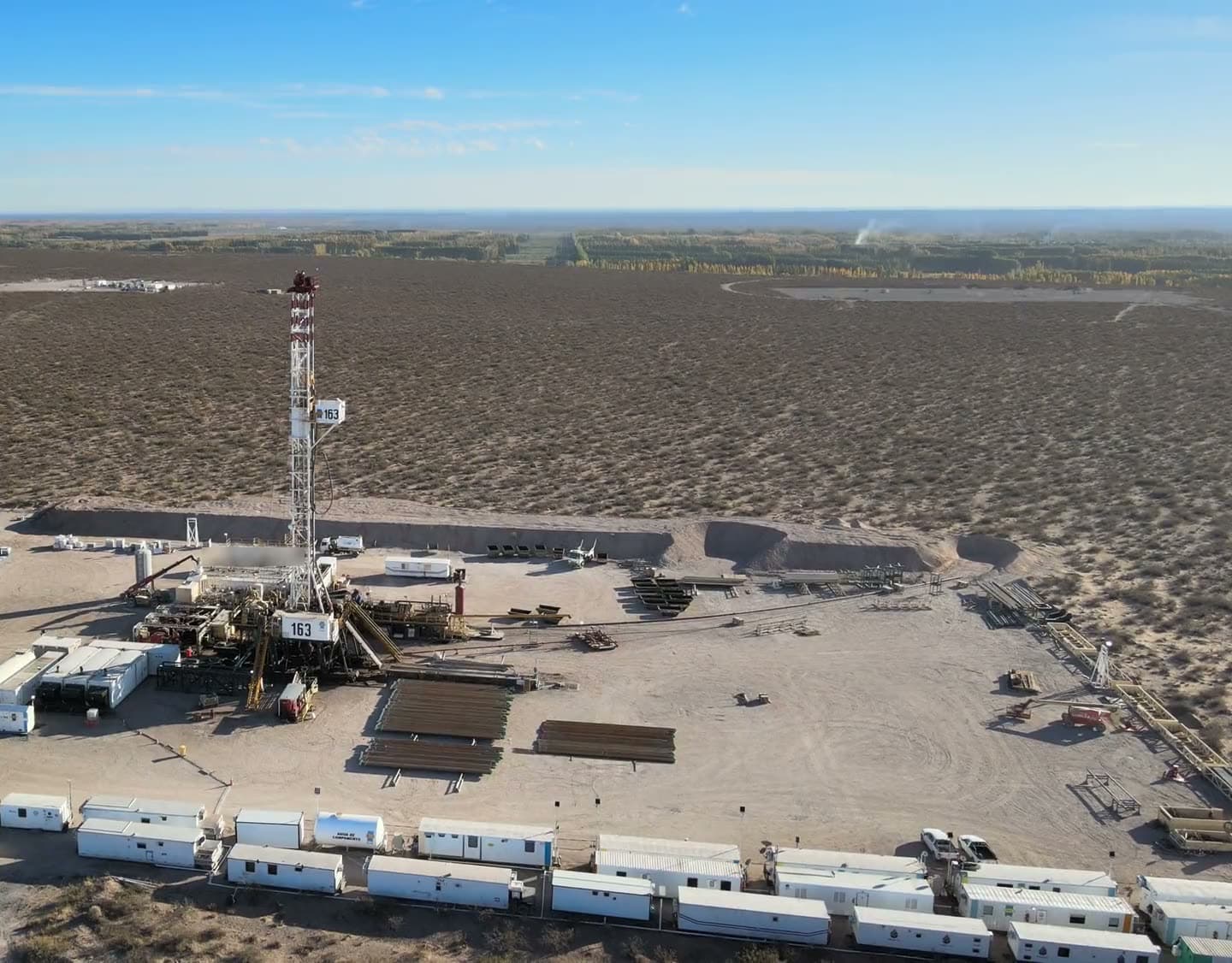
Aerial view of a land drilling rig · editorial stock footage
Surfacesystems
Decoding at the rig floor and logging in the trailer, with remote monitoring for the customer.
KeyDrill KDU-Mini decoding unit
KeyDrill
Mud-pulse decoding at the rig floor
Every survey depends on the surface receiver separating a small pressure pulse from pump noise. Deeper wells and PDC bits distort the signal; the lower the pulse a decoder can resolve, the more of the well it can survey reliably.
The Key Drill surface system is a very reliable and robust system. Its adaptive filters let it decode one sync pulse from a one-pound pulse.
Detection
Pulses as low as 1 psi; single-pulse synchronization
Setup
Automatic detection technology; no operator-set pulse thresholds
Decoded parameters
Tool face, inclination, azimuth, magnetic field, gravity field, dip angle, gamma, pressure, battery voltage, temperature, resistivity, pulse amplitude and width
Integration
Standard WITS and depth tracking; Q-Bus and CAN-Bus MWD tools; wireless link to the trailer laptop
Display
12.1 in. touch screen, 1,600 nits, adjustable for sunlight and low light
Environment
-20 to 50 C operating; 3 g RMS vibration; 10 lb
SourceManufacturer datasheet, KeyDrill
Polaris RDS logging system
Polaris Guidance Systems
Gamma and directional data logging with remote monitoring
The logging system is where surveys, gamma and drilling parameters become the well record: plots, LAS files and reports the operator keeps, and a live feed the office can watch without being on location.
The Polaris gamma logging software is a unique but user-friendly system. It runs on a Linux operating system, which makes it very reliable, and it allows the customer to have remote monitoring capabilities.
Interface
Standards-compliant web browser; local and remote users over LAN or WAN
Compatibility
All major MWD decoding systems; all WITS-based rig monitoring systems (EDR)
Data
LAS import and export; PDF log plots and roll-paper plotting; survey plots and reports
WITSML
Automatic synchronization to the client WITSML server; up to four destinations; corrections re-transmitted
Unattended operation
Survey on connection; automatic re-logging; e-mail distribution of plots, reports and LAS files
SourceManufacturer documentation, Polaris Guidance Systems (2012)
From the bit to the office, in near real time.
Decoded at the rig floor, logged in the trailer, shared with the rig, and pushed to the client server.
Measurement chain, tool to officeIllustrative
01 · MEASURE
Measure
Directional, gamma, resistivity and pressure-while-drilling measurements are taken in the MWD string as the well is drilled.
MWD toolDownhole measurements encoded as mud pulses
02 · TRANSMIT
Transmit
The positive-pulse tool encodes the readings as pressure pulses in the mud column. A standpipe transducer picks them up at surface.
Pressure transducerStandpipe pressure signal into the decoder
03 · DECODE
Decode
The KDU-Mini resolves pulses as low as 1 psi at the rig floor and sends the decoded values wirelessly to the trailer.
KDU-MiniDecodes the pulses at the rig floor and sends the data wirelessly to the trailer
04 · MONITOR
Monitor
Polaris RDS logs and plots locally, shares the feed with the rig monitoring system, and pushes it to the client WITSML server so office engineers follow the well in near real time.
Polaris RDSLogs, plots and stores the data locally
Rig WITS / EDRShares the feed with the rig monitoring system
WITSML serverPushed to the client server, up to four destinations, with corrections re-sent
Remote usersOffice engineers monitor the well in near real time
SourceData path from the Polaris Guidance Systems documentation in the Geo Mag presentation. Remote monitoring is a Geo Mag statement. Pulse detection figure: KeyDrill KDU-Mini datasheet.
Reliability and quality control
In short, we believe that we carry a very strong fleet of MWD/LWD tools. This gives us the capability of operating in the most extreme conditions.
We are continually seeking ways to make improvements on these tools.
SourceGeo Mag company presentation.
MTBF below the rotary table
5,600 hours
MTBF circulating
4,500 hours
SourceMean time between failures as reported by Geo Mag in its company presentation. The figures are not dated.
Safety programs
ISNetworldGeo Mag is part of the ISNetworld contractor network.
SIMSGeo Mag follows the SIMS safety program.
Talk to Geo Mag about the tools for your well.
Call or text (337) 278-4607, 24 hours. Or send a message through the contact form.